


Bradshaw's Railway Map Great Britain and Ireland 1852
George Bradshaw,Mapseeker Publishing Ltd.
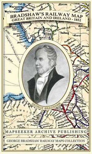
Bradshaw’s Railway Map Great Britain and Ireland 1852
George Bradshaw,Mapseeker Publishing Ltd.
Especially for those who have obtained the recent facsimile copy of George Bradshaw’s tourist’s guide book. This detailed and attractive map clearly shows the many railways that had been built at the height of Railway Mania along with hundreds of railway stations throughout Great Britain and Ireland, allowing the enthusiast to follow the routes from a bygone age. Originally published in 1852 by Bradshaw and Blacklock it has now been art worked and re-mastered. George Bradshaw’s Railway Map of Great Britain and Ireland is a visual record of when train travel was at its height - when railways were really golden - and his guides burst with pride about them. George Bradshaw’s map also illustrates the eight Environs plans of London, Birmingham, Manchester, Leeds, Liverpool, Glasgow, Edinburgh and Dublin. The paper stock used in this series of historic mapping is of a high quality developed especially for the printing of detailed mapping. The 90 gsm Progeo paper was specially developed as a map paper. It has high opacity to help reduce show through and a cross grain giving it greater durability as the map is being folded.
This item is not currently in-stock. It can be ordered online and is expected to ship in approx 2 weeks
Our stock data is updated periodically, and availability may change throughout the day for in-demand items. Please call the relevant shop for the most current stock information. Prices are subject to change without notice.
Sign in or become a Readings Member to add this title to a wishlist.