


Hadrian's Wall Path Map Booklet: 1:25,000 OS Route Mapping
Mark Richards
Hadrian’s Wall Path Map Booklet: 1:25,000 OS Route Mapping
Mark Richards
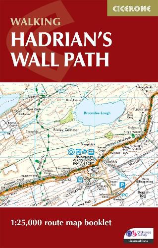
All the mapping you need to walk the Hadrian's Wall National Trail between Bowness-on-Solway in Cumbria and Wallsend, Newcastle. Covering 135km (84 miles), this historic route takes around 10 days to hike. Suitable for beginners, it nevertheless requires a reasonable level of fitness to undertake as a multi-day walk.
The full route line is shown on 1:25,000 OS maps The map booklet can be used to walk the trail in either direction Sized to easily fit in a jacket pocket 2-stage route extension through Newcastle to South Shields on the east coast is also shown A separate Cicerone guidebook - Walking Hadrian's Wall Path - is also available, which includes a copy of this map booklet
This item is not currently in-stock. It can be ordered online and is expected to ship in 10-14 days
Our stock data is updated periodically, and availability may change throughout the day for in-demand items. Please call the relevant shop for the most current stock information. Prices are subject to change without notice.
Sign in or become a Readings Member to add this title to a wishlist.