Readings Newsletter
Become a Readings Member to make your shopping experience even easier.
Sign in or sign up for free!
You’re not far away from qualifying for FREE standard shipping within Australia
You’ve qualified for FREE standard shipping within Australia
The cart is loading…


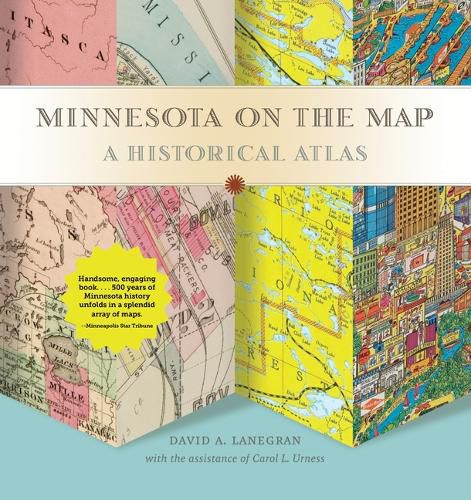
The tiny region of the globe now known as Minnesota has appeared on maps for more than five centuries, in the sketchy first impressions of explorers, the exuberant promotions of boosters, and the analytical tools of planners and managers. This lavish treasury of almost 100 maps, some rarely seen and never before available in one volume, illuminates the imagined, real, and changing landscape of Minnesota.
Preeminent geographer David Lanegran embarks on his words-and-maps journey by introducing the early explorers’ maps, beginning in 1507, which record attempts to find a route to China around or through the American continent. Changes in early military and political maps measured the country’s expanding boundaries, and increasingly detailed maps encouraged settlement and the development of towns and cities.
Lanegran offers stories of the fascinating controversies that fueled the state’s development and how maps made a difference in their outcome. Readers learn about Duluth’s port war with Superior, Wisconsin, how railroads dictated the shape of cities like Brainerd, the cruel fate of villages like Winona County’s Beaver, the importance of the state’s first 1919 highway map, and how Boundary Waters maps created a tourism bonanza. Lanegran’s concluding assessment of a digital GIS map details how human processes have changed the face of the state.
Praise for Minnesota on the Map:
Handsome, engaging book… . In little more than 200 pages, 500 years of Minnesota history unfolds in a splendid array of maps, starting from the early 16th century up to the present, accompanied by Lanegrans’ concise, informative prose… . There’s a lot of information packed into this terrific book. –Minneapolis Star Tribune
$9.00 standard shipping within Australia
FREE standard shipping within Australia for orders over $100.00
Express & International shipping calculated at checkout
The tiny region of the globe now known as Minnesota has appeared on maps for more than five centuries, in the sketchy first impressions of explorers, the exuberant promotions of boosters, and the analytical tools of planners and managers. This lavish treasury of almost 100 maps, some rarely seen and never before available in one volume, illuminates the imagined, real, and changing landscape of Minnesota.
Preeminent geographer David Lanegran embarks on his words-and-maps journey by introducing the early explorers’ maps, beginning in 1507, which record attempts to find a route to China around or through the American continent. Changes in early military and political maps measured the country’s expanding boundaries, and increasingly detailed maps encouraged settlement and the development of towns and cities.
Lanegran offers stories of the fascinating controversies that fueled the state’s development and how maps made a difference in their outcome. Readers learn about Duluth’s port war with Superior, Wisconsin, how railroads dictated the shape of cities like Brainerd, the cruel fate of villages like Winona County’s Beaver, the importance of the state’s first 1919 highway map, and how Boundary Waters maps created a tourism bonanza. Lanegran’s concluding assessment of a digital GIS map details how human processes have changed the face of the state.
Praise for Minnesota on the Map:
Handsome, engaging book… . In little more than 200 pages, 500 years of Minnesota history unfolds in a splendid array of maps, starting from the early 16th century up to the present, accompanied by Lanegrans’ concise, informative prose… . There’s a lot of information packed into this terrific book. –Minneapolis Star Tribune
Search our extensive online catalogue.
