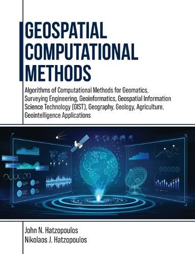
Geospatial Computational Methods
John N Hatzopoulos, Nikolaos J Hatzopoulos

Geospatial Computational Methods
John N Hatzopoulos, Nikolaos J Hatzopoulos
This title is printed to order. This book may have been self-published. If so, we cannot guarantee the quality of the content. In the main most books will have gone through the editing process however some may not. We therefore suggest that you be aware of this before ordering this book. If in doubt check either the author or publisher’s details as we are unable to accept any returns unless they are faulty. Please contact us if you have any questions.
This book is for students and professionals involved in Geospatial Computations and related areas such as Geomatics, Surveying Engineering, Geoinformatics, Geospatial Information Science and Technology (GIS&T), Geography, Geology, Agriculture, and Geointelligence. More emphasis is given to using scientific methods and tools materialized in algorithms and software to produce practical results. Specifically, algorithms such as error analysis of measurements and the least squares adjustment method to obtain ground coordinates of points with their reliability to construct the geometric framework of the geographical space necessary for various geospatial applications such as a Geographic Information System (GIS) are discussed. Other algorithms involve interpolation methods for DEM and spatial data analysis. Furthermore, such algorithms in the geospatial area are basic surveying methods using a total station, photogrammetry, digital terrain modeling, GNSS, augmented reality, coordinate transformations, map projections, and interpolation. Most algorithms are implemented into 27 educational computer programs and necessary data to understand GIS&T operations from the inside with a didactics approach targeting to become more intelligent than machines. The educational programs include general photogrammetric operations with aerial photography and drones, 3-D surveying network adjustment, GNSS navigation solutions, and many others. This approach helps to obtain high-quality scientific and technological bases, which in turn enhance the ability to exploit and use most tools and functions of existing GIS&T systems and, therefore, to be highly competitive as a professional in the market. This book has ten chapters such as Measurements and Errors Estimation and Accuracy Standards, Specialized Numerical Methods, Error Propagation & Least Squares Adjustment, Condition Method and Generalized Least Squares, Applications to Map Projections and Transformation of Coordinates, Applications to Surveying Networks, Applications of Computational Methods in Photogrammetry, Digital Elevation Models (DEM), Computer Programming--Scripting & AI.
This item is not currently in-stock. It can be ordered online and is expected to ship in 7-14 days
Our stock data is updated periodically, and availability may change throughout the day for in-demand items. Please call the relevant shop for the most current stock information. Prices are subject to change without notice.
Sign in or become a Readings Member to add this title to a wishlist.


