Readings Newsletter
Become a Readings Member to make your shopping experience even easier.
Sign in or sign up for free!
You’re not far away from qualifying for FREE standard shipping within Australia
You’ve qualified for FREE standard shipping within Australia
The cart is loading…


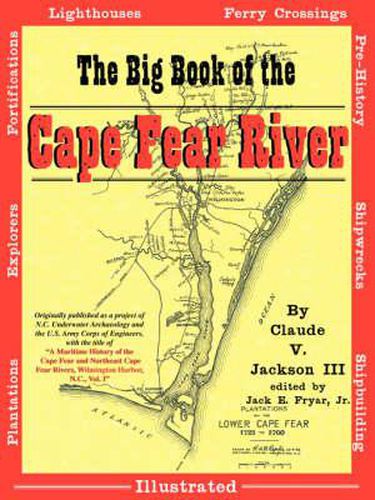
In 1993 and 1994, the N.C. Department of Cultural Resources’ Underwater Archaeology Unit teamed with the U.S. Army Corps of Engineers to conduct a comprehensive survey of North Carolina’s Cape Fear River, from the mouth at Bald Head Island to just above Wilmington. The survey sought out plantation sites, fortification sites, shipwrecks, ferry crossings, lighthouses, shipyards and much more along more than thirty miles of the state’s most historic river. Published in 1996, the resulting study is a gold mine of information about the places along the lower Cape Fear River where history was made. Now available to the general public for the first time, this volume has been enhanced with more than 250 photos and illustrations, plus more than sixty maps identifying the places talked about in the study. This book is a must-have for the North Carolina and Cape Fear history lover!
$9.00 standard shipping within Australia
FREE standard shipping within Australia for orders over $100.00
Express & International shipping calculated at checkout
In 1993 and 1994, the N.C. Department of Cultural Resources’ Underwater Archaeology Unit teamed with the U.S. Army Corps of Engineers to conduct a comprehensive survey of North Carolina’s Cape Fear River, from the mouth at Bald Head Island to just above Wilmington. The survey sought out plantation sites, fortification sites, shipwrecks, ferry crossings, lighthouses, shipyards and much more along more than thirty miles of the state’s most historic river. Published in 1996, the resulting study is a gold mine of information about the places along the lower Cape Fear River where history was made. Now available to the general public for the first time, this volume has been enhanced with more than 250 photos and illustrations, plus more than sixty maps identifying the places talked about in the study. This book is a must-have for the North Carolina and Cape Fear history lover!
Search our extensive online catalogue.
