


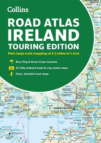
Road Atlas Ireland: Touring Edition A4 Paperback
Collins Maps
Road Atlas Ireland: Touring Edition A4 Paperback
Collins Maps
Explore Ireland with this accurate and fully updated road atlas.
Road atlas, at A4 size, covering the whole of Ireland featuring clear and detailed Collins colour mapping at a scale of 5.2 miles to 1 inch. Perfect for both residents and visitors touring Ireland.
Clear, detailed and up-to-date Collins mapping showing: * Places of tourist interest * Contact information for Tourist Information Centres with grid references to the mapping * Fully indexed street maps of 11 cities and towns - Dublin, Belfast, Cork, Limerick, Londonderry (Derry), Galway, Bangor, Waterford, Dun Laoghaire, Drogheda and Killarney * Speed enforcement zones and fixed location speed cameras * Blue Flag & Green Coast beaches * Ferry and airport information; Distance chart; Distances marked on the roads in miles and kilometres * Route planning map of the whole of Ireland at 15.8 miles to 1 inch * Administrative map of Irish counties and districts.
This item is not currently in-stock. It can be ordered online and is expected to ship in approx 2 weeks
Our stock data is updated periodically, and availability may change throughout the day for in-demand items. Please call the relevant shop for the most current stock information. Prices are subject to change without notice.
Sign in or become a Readings Member to add this title to a wishlist.