Readings Newsletter
Become a Readings Member to make your shopping experience even easier.
Sign in or sign up for free!
You’re not far away from qualifying for FREE standard shipping within Australia
You’ve qualified for FREE standard shipping within Australia
The cart is loading…


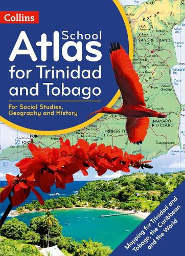
Prepared specifically to support social studies, map skills, early geography skills plus history and heritage topics in the National Standards Curriculum for grades 4 to 9.
The atlas is fully illustrated and includes the most up to date reference and thematic mapping of Trinidad and Tobago, countries within the Caribbean Community and the broader Caribbean region. Maps are fully supported with illustrations, photographs and data. World maps cover international issues which have a bearing on Caribbean development.
$9.00 standard shipping within Australia
FREE standard shipping within Australia for orders over $100.00
Express & International shipping calculated at checkout
Prepared specifically to support social studies, map skills, early geography skills plus history and heritage topics in the National Standards Curriculum for grades 4 to 9.
The atlas is fully illustrated and includes the most up to date reference and thematic mapping of Trinidad and Tobago, countries within the Caribbean Community and the broader Caribbean region. Maps are fully supported with illustrations, photographs and data. World maps cover international issues which have a bearing on Caribbean development.
Search our extensive online catalogue.
