Outer Hebrides Pocket Map: The Perfect Way to Explore the Western Isles
Collins Maps

Outer Hebrides Pocket Map: The Perfect Way to Explore the Western Isles
Collins Maps
Explore new places with handy pocket maps from Collins.
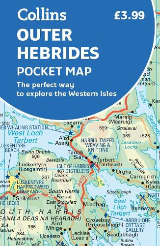
Handy little full colour map of the Western Isles of Scotland. Detailed mapping and tourist information for the islands of Lewis, Harris, Uist, Benbecula, Barra and St Kilda. Excellent value and very detailed for its size.
Main features of this map include: * Clear mapping at a scale of 3.2 miles to 1 inch * Tourist attractions located and described * Ideal for touring with sights, places to stay, cafe/restaurant, things to do all on the map * Transport links map showing how to get to and depart the islands * Index to places of interest and place names
Essential for those planning a trip around the Western Isles.
This item is not currently in-stock. It can be ordered online and is expected to ship in approx 2 weeks
Our stock data is updated periodically, and availability may change throughout the day for in-demand items. Please call the relevant shop for the most current stock information. Prices are subject to change without notice.
Sign in or become a Readings Member to add this title to a wishlist.


