Readings Newsletter
Become a Readings Member to make your shopping experience even easier.
Sign in or sign up for free!
You’re not far away from qualifying for FREE standard shipping within Australia
You’ve qualified for FREE standard shipping within Australia
The cart is loading…


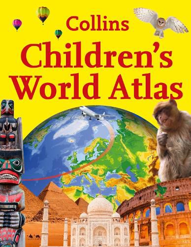
An ideal family reference atlas presenting an overview of the world’s people and places in one compact atlas. It brings every continent and sub-region of the world to life through authoritative maps, eye-catching illustrations and up-to-date geographical information.
Collins Children’s World Atlas is a comprehensive and easy-to-read source of information about the countries of the world. Great care has been taken to bring maps and statistics to life in a format that is relevant for the 21st century. With dramatic imagery and the creative use of graphics, key information is presented in a lively and engaging way that will not only answer questions but stimulate further enquiry and expand knowledge.
Each page presents detailed but easily understandable analyses of social, geographic, economic and environmental trends across the regions. Fact-packed descriptions focus on the key social, cultural, historical and physical features of individual countries and cities.
Collins Children’s World Atlas contains a scholarly level of detail and research presented in an appealing and easily accessible format. This is a book that is a pleasure to browse as well as to learn from and is an ideal resource for home study or school projects.
$9.00 standard shipping within Australia
FREE standard shipping within Australia for orders over $100.00
Express & International shipping calculated at checkout
An ideal family reference atlas presenting an overview of the world’s people and places in one compact atlas. It brings every continent and sub-region of the world to life through authoritative maps, eye-catching illustrations and up-to-date geographical information.
Collins Children’s World Atlas is a comprehensive and easy-to-read source of information about the countries of the world. Great care has been taken to bring maps and statistics to life in a format that is relevant for the 21st century. With dramatic imagery and the creative use of graphics, key information is presented in a lively and engaging way that will not only answer questions but stimulate further enquiry and expand knowledge.
Each page presents detailed but easily understandable analyses of social, geographic, economic and environmental trends across the regions. Fact-packed descriptions focus on the key social, cultural, historical and physical features of individual countries and cities.
Collins Children’s World Atlas contains a scholarly level of detail and research presented in an appealing and easily accessible format. This is a book that is a pleasure to browse as well as to learn from and is an ideal resource for home study or school projects.
Search our extensive online catalogue.
