Readings Newsletter
Become a Readings Member to make your shopping experience even easier.
Sign in or sign up for free!
You’re not far away from qualifying for FREE standard shipping within Australia
You’ve qualified for FREE standard shipping within Australia
The cart is loading…


This title is printed to order. This book may have been self-published. If so, we cannot guarantee the quality of the content. In the main most books will have gone through the editing process however some may not. We therefore suggest that you be aware of this before ordering this book. If in doubt check either the author or publisher’s details as we are unable to accept any returns unless they are faulty. Please contact us if you have any questions.
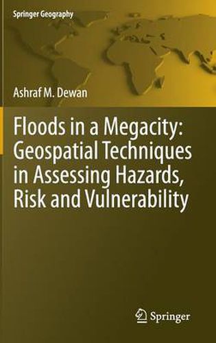
Flooding is one of the most devastating natural hazards in the world. Available records suggest that both flood frequency and severity are on the rise and this is likely to worsen in the context of climate change. As population, infrastructure and poverty grow rapidly in developing countries, particularly in urban agglomerations of 10 million people or more, floods could cause widespread devastation, economic damage and loss of life. Assessment of vulnerability and risk from naturally occurring phenomena is therefore imperative in order to achieve urban sustainability.
This book uses geospatial techniques to evaluate hazards, risk and vulnerability at a metropolitan scale in a data-scarce country. An empirical study was performed using remote sensing, GIS and census data. This research offers a new approach to mapping population, infrastructures and communities at risk which can greatly contribute to the deeper understanding of flood disasters in a rapidly expanding megacity. Examples shown in this book are from Dhaka Megacity, however, the techniques and methods can easily be implemented in medium to large cities of similar characteristics.
The book is essential reading for hazard researchers, geospatial scientists, disaster management professionals, geographers, urban planners, and social scientists.
Ashraf M. Dewan is currently a Lecturer in the Department of Spatial Sciences at Curtin University, Western Australia (on leave from his substantive position as Associate Professor in the Geography & Environment Department at the University of Dhaka, Bangladesh).
$9.00 standard shipping within Australia
FREE standard shipping within Australia for orders over $100.00
Express & International shipping calculated at checkout
This title is printed to order. This book may have been self-published. If so, we cannot guarantee the quality of the content. In the main most books will have gone through the editing process however some may not. We therefore suggest that you be aware of this before ordering this book. If in doubt check either the author or publisher’s details as we are unable to accept any returns unless they are faulty. Please contact us if you have any questions.
Flooding is one of the most devastating natural hazards in the world. Available records suggest that both flood frequency and severity are on the rise and this is likely to worsen in the context of climate change. As population, infrastructure and poverty grow rapidly in developing countries, particularly in urban agglomerations of 10 million people or more, floods could cause widespread devastation, economic damage and loss of life. Assessment of vulnerability and risk from naturally occurring phenomena is therefore imperative in order to achieve urban sustainability.
This book uses geospatial techniques to evaluate hazards, risk and vulnerability at a metropolitan scale in a data-scarce country. An empirical study was performed using remote sensing, GIS and census data. This research offers a new approach to mapping population, infrastructures and communities at risk which can greatly contribute to the deeper understanding of flood disasters in a rapidly expanding megacity. Examples shown in this book are from Dhaka Megacity, however, the techniques and methods can easily be implemented in medium to large cities of similar characteristics.
The book is essential reading for hazard researchers, geospatial scientists, disaster management professionals, geographers, urban planners, and social scientists.
Ashraf M. Dewan is currently a Lecturer in the Department of Spatial Sciences at Curtin University, Western Australia (on leave from his substantive position as Associate Professor in the Geography & Environment Department at the University of Dhaka, Bangladesh).