Readings Newsletter
Become a Readings Member to make your shopping experience even easier.
Sign in or sign up for free!
You’re not far away from qualifying for FREE standard shipping within Australia
You’ve qualified for FREE standard shipping within Australia
The cart is loading…


This title is printed to order. This book may have been self-published. If so, we cannot guarantee the quality of the content. In the main most books will have gone through the editing process however some may not. We therefore suggest that you be aware of this before ordering this book. If in doubt check either the author or publisher’s details as we are unable to accept any returns unless they are faulty. Please contact us if you have any questions.
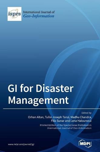
Each year, disasters such as storms, floods, fires, volcanoes, earthquakes, and epidemics cause thousands of casualties and tremendous damage to property around the world, displacing tens of thousands of people from their homes and destroying their livelihoods. The majority of these casualties and property loss could be prevented if better information were available regarding the onset and course of such disasters. Several remote sensing technologies, such as meteorological and Earth observation satellites, communication satellites, and satellite-based positioning, supported by geoinformation technologies, offer the potential to contribute to improved prediction and monitoring of potential hazards, risk mitigation, and disaster management which, in turn, would lead to sharp reductions in losses to life and property. This book explores most of the scientific issues related to spatially supported disaster management and its integration with geographical information system technologies in different disaster examples and scales. Dealing with disasters over space and time represents a long-lasting theme, now approached by means of innovative techniques and modelling approaches. Several priorities for actions are outlined toward preventing new and reduce existing disaster risks, including understanding disaster risk, strengthening disaster risk governance for management of disaster risk, investing in disaster reduction for resilience, and enhancing disaster preparedness for effective response. This book presents ideas to address the challenges facing different components of spatial patterns related to ecological processes, and the published articles extended versions of selected presentations from the Gi4DM Conference in 2019 in Prague.
$9.00 standard shipping within Australia
FREE standard shipping within Australia for orders over $100.00
Express & International shipping calculated at checkout
This title is printed to order. This book may have been self-published. If so, we cannot guarantee the quality of the content. In the main most books will have gone through the editing process however some may not. We therefore suggest that you be aware of this before ordering this book. If in doubt check either the author or publisher’s details as we are unable to accept any returns unless they are faulty. Please contact us if you have any questions.
Each year, disasters such as storms, floods, fires, volcanoes, earthquakes, and epidemics cause thousands of casualties and tremendous damage to property around the world, displacing tens of thousands of people from their homes and destroying their livelihoods. The majority of these casualties and property loss could be prevented if better information were available regarding the onset and course of such disasters. Several remote sensing technologies, such as meteorological and Earth observation satellites, communication satellites, and satellite-based positioning, supported by geoinformation technologies, offer the potential to contribute to improved prediction and monitoring of potential hazards, risk mitigation, and disaster management which, in turn, would lead to sharp reductions in losses to life and property. This book explores most of the scientific issues related to spatially supported disaster management and its integration with geographical information system technologies in different disaster examples and scales. Dealing with disasters over space and time represents a long-lasting theme, now approached by means of innovative techniques and modelling approaches. Several priorities for actions are outlined toward preventing new and reduce existing disaster risks, including understanding disaster risk, strengthening disaster risk governance for management of disaster risk, investing in disaster reduction for resilience, and enhancing disaster preparedness for effective response. This book presents ideas to address the challenges facing different components of spatial patterns related to ecological processes, and the published articles extended versions of selected presentations from the Gi4DM Conference in 2019 in Prague.