Readings Newsletter
Become a Readings Member to make your shopping experience even easier.
Sign in or sign up for free!
You’re not far away from qualifying for FREE standard shipping within Australia
You’ve qualified for FREE standard shipping within Australia
The cart is loading…


This title is printed to order. This book may have been self-published. If so, we cannot guarantee the quality of the content. In the main most books will have gone through the editing process however some may not. We therefore suggest that you be aware of this before ordering this book. If in doubt check either the author or publisher’s details as we are unable to accept any returns unless they are faulty. Please contact us if you have any questions.
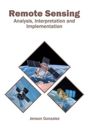
Information can be gathered about an object, event or phenomenon without making direct physical contact with it. This is possible by applying the technology of remote sensing. Using satellite-based or aircraft-based sensor technology, objects on the Earth can be detected and classified. Data can be acquired from conventional radar, laser and radar altimeters, LIDAR, ultrasound and radar tide gauges, spectropolarimetric imaging, radiometers and photometers, etc. Remote sensing is useful in varied domains such as land surveying, hydrology, geography, ecology, glaciology, oceanography, etc. It also has commercial, economic, military, intelligence and humanitarian applications. This book unravels the recent studies in the field of remote sensing. Also included in this book is a detailed explanation of the different methods used for the analysis, interpretation and use of remote sensing data. A number of latest researches have been included to keep the readers up-to-date with the global concepts in this area of study.
$9.00 standard shipping within Australia
FREE standard shipping within Australia for orders over $100.00
Express & International shipping calculated at checkout
This title is printed to order. This book may have been self-published. If so, we cannot guarantee the quality of the content. In the main most books will have gone through the editing process however some may not. We therefore suggest that you be aware of this before ordering this book. If in doubt check either the author or publisher’s details as we are unable to accept any returns unless they are faulty. Please contact us if you have any questions.
Information can be gathered about an object, event or phenomenon without making direct physical contact with it. This is possible by applying the technology of remote sensing. Using satellite-based or aircraft-based sensor technology, objects on the Earth can be detected and classified. Data can be acquired from conventional radar, laser and radar altimeters, LIDAR, ultrasound and radar tide gauges, spectropolarimetric imaging, radiometers and photometers, etc. Remote sensing is useful in varied domains such as land surveying, hydrology, geography, ecology, glaciology, oceanography, etc. It also has commercial, economic, military, intelligence and humanitarian applications. This book unravels the recent studies in the field of remote sensing. Also included in this book is a detailed explanation of the different methods used for the analysis, interpretation and use of remote sensing data. A number of latest researches have been included to keep the readers up-to-date with the global concepts in this area of study.