Readings Newsletter
Become a Readings Member to make your shopping experience even easier.
Sign in or sign up for free!
You’re not far away from qualifying for FREE standard shipping within Australia
You’ve qualified for FREE standard shipping within Australia
The cart is loading…


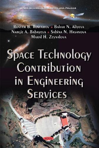
Remote Sensing is the method of measurement of the object properties on the Earth’s surface using data acquired from aircraft and satellites. This method makes it possible to carry out the measurement from the distance for the purpose of this research and to display those measurements over a two-dimensional spatial grid, i.e. images. Remote Sensing method, which is based on the data accessed from satellites, provides an opportunity to observe and monitor the Earth, collect appropriate information with further processing and integration of the Geographic Information System. This book’s aim is to reveal the opportunities of the application of Remote Sensing and Geographic Information System advances in wide areas of engineering applications through analyzing its own achievements and challenges as well as creative sources existing in the indicated area. This book examines the conceptual aspects of Remote Sensing and Geographic Information System. Its applications are based on implemented projects and its outcomes found a perfect reliable place in the field of engineering.
$9.00 standard shipping within Australia
FREE standard shipping within Australia for orders over $100.00
Express & International shipping calculated at checkout
Remote Sensing is the method of measurement of the object properties on the Earth’s surface using data acquired from aircraft and satellites. This method makes it possible to carry out the measurement from the distance for the purpose of this research and to display those measurements over a two-dimensional spatial grid, i.e. images. Remote Sensing method, which is based on the data accessed from satellites, provides an opportunity to observe and monitor the Earth, collect appropriate information with further processing and integration of the Geographic Information System. This book’s aim is to reveal the opportunities of the application of Remote Sensing and Geographic Information System advances in wide areas of engineering applications through analyzing its own achievements and challenges as well as creative sources existing in the indicated area. This book examines the conceptual aspects of Remote Sensing and Geographic Information System. Its applications are based on implemented projects and its outcomes found a perfect reliable place in the field of engineering.