Readings Newsletter
Become a Readings Member to make your shopping experience even easier.
Sign in or sign up for free!
You’re not far away from qualifying for FREE standard shipping within Australia
You’ve qualified for FREE standard shipping within Australia
The cart is loading…


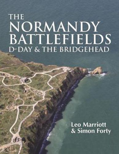
An overview of the Normandy battlefields: maps old and new highlight what has survived and what hasn’t; then and now photography allows fascinating comparisons with the images taken at the time-particularly the aerial views; and computer artwork provides graphic details of things that can’t be seen today. With their 70th anniversary just around the corner, the D-Day landings have lost none of their impact. Even today the vestiges of Hitler’s Atlantic Wall speak of the huge undertaking necessary for the Allies to gain a foothold in Normandy. In this beautiful new full-colour book, the reader goes on-site to the sacred battleground from its scarred medieval villages to the remains of modern means of destruction. The huge armada that attacked from Britain left behind many signs of their passage: from the huge caissons of the mulberry harbor around Arromanches, the gun emplacements at Longues and Merville, to the multitude of hardware used as memorials-tanks, artillery, pillboxes-and the many graves and cemeteries that honour those who died on both sides. It is in memory of the dead that much of what can be seen on the ground survives, but as the last few survivors reach their 90s, a new audience requires information about the events of the past that can only come from seeing the ground where the battle was fought. Today, the beaches are a fascinating mixture of the new and the old, including the new visitors’ centre at Colleville and the renovation and expansion of the Utah Beach museum-even as further new memorials jostle with the older sites that have changed little in 70 years. ‘The Normandy Battlefields’ details what can be seen on the ground today using a mixture of media to provide a complete overview of the campaign. Maps old and new highlight what has survived and what hasn’t; then-and-now photography allows fascinating comparisons with the images taken at the time-particularly the aerial views-and computer artwork provides graphic details of things that can’t be seen today. The book describes the area from Cherbourg to Le Havre by way of the key D-Day locations, providing a handbook for the visitor and an overview for the armchair traveller. It covers, wherever possible, the forces from both sides and the memorials to those young men who fought so many years ago. Colour illustrations
$9.00 standard shipping within Australia
FREE standard shipping within Australia for orders over $100.00
Express & International shipping calculated at checkout
An overview of the Normandy battlefields: maps old and new highlight what has survived and what hasn’t; then and now photography allows fascinating comparisons with the images taken at the time-particularly the aerial views; and computer artwork provides graphic details of things that can’t be seen today. With their 70th anniversary just around the corner, the D-Day landings have lost none of their impact. Even today the vestiges of Hitler’s Atlantic Wall speak of the huge undertaking necessary for the Allies to gain a foothold in Normandy. In this beautiful new full-colour book, the reader goes on-site to the sacred battleground from its scarred medieval villages to the remains of modern means of destruction. The huge armada that attacked from Britain left behind many signs of their passage: from the huge caissons of the mulberry harbor around Arromanches, the gun emplacements at Longues and Merville, to the multitude of hardware used as memorials-tanks, artillery, pillboxes-and the many graves and cemeteries that honour those who died on both sides. It is in memory of the dead that much of what can be seen on the ground survives, but as the last few survivors reach their 90s, a new audience requires information about the events of the past that can only come from seeing the ground where the battle was fought. Today, the beaches are a fascinating mixture of the new and the old, including the new visitors’ centre at Colleville and the renovation and expansion of the Utah Beach museum-even as further new memorials jostle with the older sites that have changed little in 70 years. ‘The Normandy Battlefields’ details what can be seen on the ground today using a mixture of media to provide a complete overview of the campaign. Maps old and new highlight what has survived and what hasn’t; then-and-now photography allows fascinating comparisons with the images taken at the time-particularly the aerial views-and computer artwork provides graphic details of things that can’t be seen today. The book describes the area from Cherbourg to Le Havre by way of the key D-Day locations, providing a handbook for the visitor and an overview for the armchair traveller. It covers, wherever possible, the forces from both sides and the memorials to those young men who fought so many years ago. Colour illustrations
Search our extensive online catalogue.
