Readings Newsletter
Become a Readings Member to make your shopping experience even easier.
Sign in or sign up for free!
You’re not far away from qualifying for FREE standard shipping within Australia
You’ve qualified for FREE standard shipping within Australia
The cart is loading…


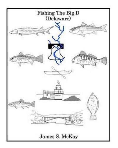
Fishing The Big D provides a unique holistic view of the Delaware Watershed and the fish of the Valley. This is more than just another Fishing Book; it contains the rich geography, history and the unique character of the Delaware River and Bay. It merges the Delaware’s characteristics, history and large variety of aquatic wildlife into what we see today, a river of conflicting viewpoints and usage. The book contains unique maps that cover 330 miles of the River and Bay, created by the author, showing rapids, local names, access points, good fishing locations and bottom topography. The maps are best viewed in the hard copy book, but the kindle version has them also.
$9.00 standard shipping within Australia
FREE standard shipping within Australia for orders over $100.00
Express & International shipping calculated at checkout
Fishing The Big D provides a unique holistic view of the Delaware Watershed and the fish of the Valley. This is more than just another Fishing Book; it contains the rich geography, history and the unique character of the Delaware River and Bay. It merges the Delaware’s characteristics, history and large variety of aquatic wildlife into what we see today, a river of conflicting viewpoints and usage. The book contains unique maps that cover 330 miles of the River and Bay, created by the author, showing rapids, local names, access points, good fishing locations and bottom topography. The maps are best viewed in the hard copy book, but the kindle version has them also.