Readings Newsletter
Become a Readings Member to make your shopping experience even easier.
Sign in or sign up for free!
You’re not far away from qualifying for FREE standard shipping within Australia
You’ve qualified for FREE standard shipping within Australia
The cart is loading…


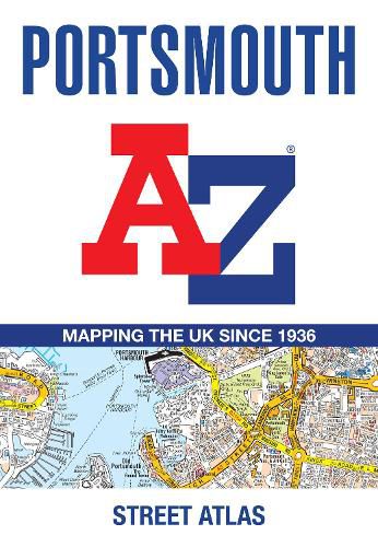
Navigate your way around Portsmouth with this detailed and easy-to-use A-Z Street Atlas. Printed in full-colour, paperback format, this atlas contains 54 pages of continuous street mapping.
The main mapping extends beyond central Portsmouth at a scale of 4 inches to 1 mile, featuring postcode districts, one-way streets, park and ride sites, and safety camera locations. Areas covered include:
Wickham and Clanfield (inset)
Places of Interest Guide, highlighting historic maritime tourist attractions to modern-day landmarks
Postcode map of the Portsmouth area
Road map of the Portsmouth area
South Downs National Park boundaries
$9.00 standard shipping within Australia
FREE standard shipping within Australia for orders over $100.00
Express & International shipping calculated at checkout
Navigate your way around Portsmouth with this detailed and easy-to-use A-Z Street Atlas. Printed in full-colour, paperback format, this atlas contains 54 pages of continuous street mapping.
The main mapping extends beyond central Portsmouth at a scale of 4 inches to 1 mile, featuring postcode districts, one-way streets, park and ride sites, and safety camera locations. Areas covered include:
Wickham and Clanfield (inset)
Places of Interest Guide, highlighting historic maritime tourist attractions to modern-day landmarks
Postcode map of the Portsmouth area
Road map of the Portsmouth area
South Downs National Park boundaries
Search our extensive online catalogue.
