Readings Newsletter
Become a Readings Member to make your shopping experience even easier.
Sign in or sign up for free!
You’re not far away from qualifying for FREE standard shipping within Australia
You’ve qualified for FREE standard shipping within Australia
The cart is loading…


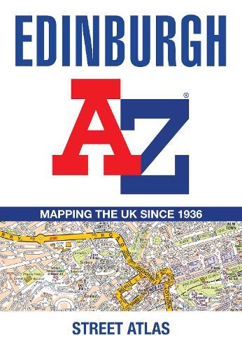
Navigate your way around Edinburgh with this detailed and easy-to-use A-Z Street Atlas. Printed in full-colour, paperback format, this atlas contains 45 pages of continuous street mapping.
The main mapping extends beyond central Edinburgh at a scale of 3.33 inches to 1 mile, featuring postcode districts, one-way streets, park and ride sites, and safety camera locations. Areas covered include:
South Queensferry Leith Prestonpans Tranent Musselburgh Dalkeith Bonnyrigg Loanhead Gorebridge Penicuik Balerno Edinburgh Airport
The large-scale street map of Edinburgh city centre - at a scale of 6.67 inches to 1 mile - includes:
Places of Interest Guide, highlighting the city's major tourist attractions and world-famous Edinburgh Festival Postcode map of the Edinburgh area Road map of the Edinburgh area Diagrammatic map of rail and tram connections
A comprehensive index lists streets, selected flats, walkways and places of interest, place, area and station names. Additional healthcare (hospitals, walk-in centres and hospices) and transport connections (Edinburgh Tramway stops) are indexed as well.
$9.00 standard shipping within Australia
FREE standard shipping within Australia for orders over $100.00
Express & International shipping calculated at checkout
Navigate your way around Edinburgh with this detailed and easy-to-use A-Z Street Atlas. Printed in full-colour, paperback format, this atlas contains 45 pages of continuous street mapping.
The main mapping extends beyond central Edinburgh at a scale of 3.33 inches to 1 mile, featuring postcode districts, one-way streets, park and ride sites, and safety camera locations. Areas covered include:
South Queensferry Leith Prestonpans Tranent Musselburgh Dalkeith Bonnyrigg Loanhead Gorebridge Penicuik Balerno Edinburgh Airport
The large-scale street map of Edinburgh city centre - at a scale of 6.67 inches to 1 mile - includes:
Places of Interest Guide, highlighting the city's major tourist attractions and world-famous Edinburgh Festival Postcode map of the Edinburgh area Road map of the Edinburgh area Diagrammatic map of rail and tram connections
A comprehensive index lists streets, selected flats, walkways and places of interest, place, area and station names. Additional healthcare (hospitals, walk-in centres and hospices) and transport connections (Edinburgh Tramway stops) are indexed as well.
Search our extensive online catalogue.
