Readings Newsletter
Become a Readings Member to make your shopping experience even easier.
Sign in or sign up for free!
You’re not far away from qualifying for FREE standard shipping within Australia
You’ve qualified for FREE standard shipping within Australia
The cart is loading…


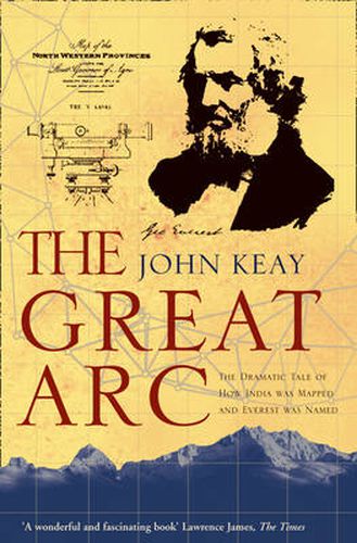
A vivid description of one of the most ambitious scientific projects undertaken in the 19th century, and the men who undertook the measurement of the Himalayas and the mapping of the Indian subcontinent: William Lambton and George Everest.
The graphic story of the measurement of a meridian, or longitudinal, arc extending from the tip of the Indian subcontinent to the mountains of the Himalayas.
Much the longest such measurement hitherto made, it posed horrendous technical difficulties, made impossible physical demands on the survey parties (jungle, tigers, mountains etc.), and took over 50 years. But the scientific results were commensurate, including the discovery of the world’s highest peaks and a new calculation of the curvature of the earth’s surface.
The Indian Mutiny of 1857 triggered a massive construction of roads, railways, telegraph lines and canals throughout India: all depended heavily on the accuracy of the maps which the Great Arc had made possible.
$9.00 standard shipping within Australia
FREE standard shipping within Australia for orders over $100.00
Express & International shipping calculated at checkout
A vivid description of one of the most ambitious scientific projects undertaken in the 19th century, and the men who undertook the measurement of the Himalayas and the mapping of the Indian subcontinent: William Lambton and George Everest.
The graphic story of the measurement of a meridian, or longitudinal, arc extending from the tip of the Indian subcontinent to the mountains of the Himalayas.
Much the longest such measurement hitherto made, it posed horrendous technical difficulties, made impossible physical demands on the survey parties (jungle, tigers, mountains etc.), and took over 50 years. But the scientific results were commensurate, including the discovery of the world’s highest peaks and a new calculation of the curvature of the earth’s surface.
The Indian Mutiny of 1857 triggered a massive construction of roads, railways, telegraph lines and canals throughout India: all depended heavily on the accuracy of the maps which the Great Arc had made possible.
Search our extensive online catalogue.
